Welcome to our new website
17th Century Map of North Riding of Yorkshire.c.1630
Sold. This item is now sold.
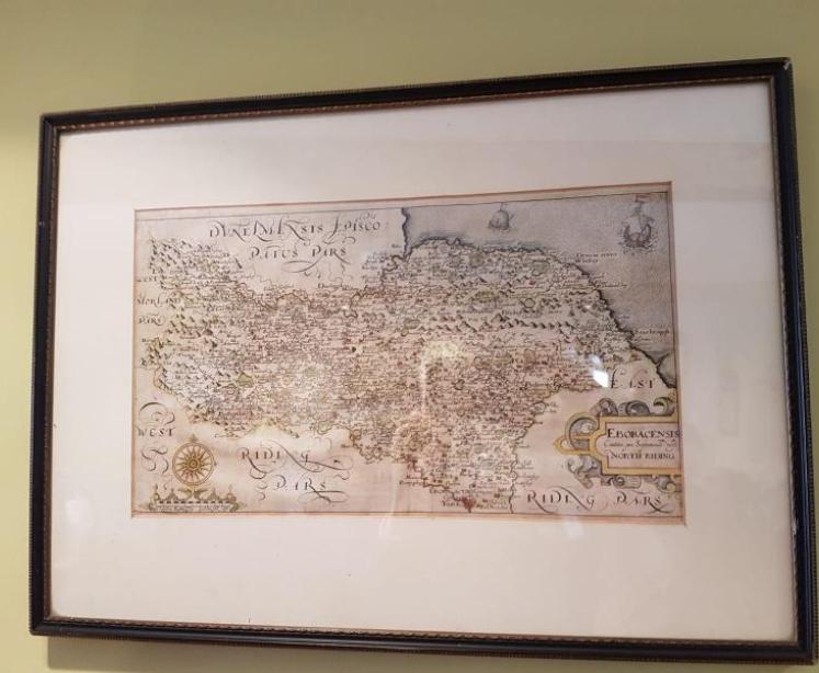


17th Century Map of North Riding of Yorkshire.c.1630
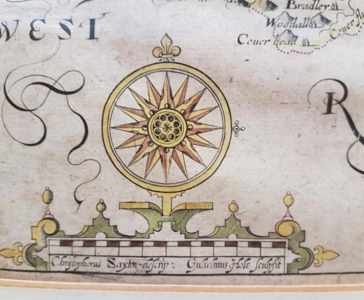
An Early original antique map of the North Riding of Yorkshire after Saxon engraved by William Hole in either 1610 or 1637. Hand tinted and in superb unfaded condition. Set in a later frame and mount. Map measures 13.5" x 8" or 19" x 14" including frame.