Welcome to our new website
17th Century Antique Map of North Riding Of Yorkshire
Sold. This item is now sold.
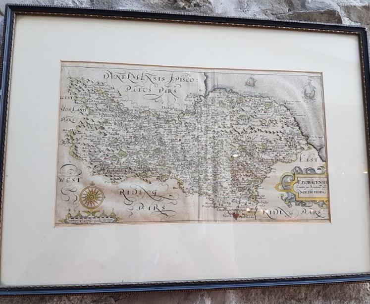


17th Century Antique Map of North Riding Of Yorkshire
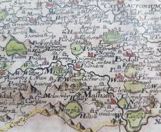
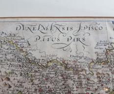
An Original 17th Century Antique map of the North Riding of Yorkshire by Christopher Saxton. Dated 1637. Copper engraved by William Hole and hand coloured. No tears or repairs. This is an original, not a print. Set in an ebony frame and mount. Measures 14" x 8" map and 19" x 14" framed.